United Kingdom
€500.00
| /
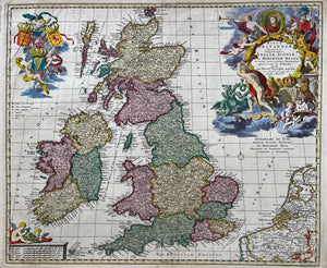
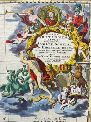
Title: 'Magnae Britanniae Tabula: Comprehendens Angliae, Scotiae ac Hiberniae Regna‘ .
Nice, very decorative map of United Kingom. Contemporary handcoloured engraving, published by Nicolaas Visscher. Ca. 1690
Size: 47 x 56,5 cm.
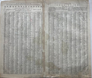
Condition: Very good,small fold top left. Verso (in Dutch) list of names of cities, villages, castles etc.
VAT: Margingoods
Search for: map, old map, antique map, england, scotland, Ireland, UK, united kingdom, verenigd koninkrijk engeland, schotland, ierland, visscher, oude kaart, antieke kaart, gravure


